How Burlington Township is laid out
The township is not one grid. It reads as four bands, and the subdivision names in listings sit inside them. Here is the shape of the place, and the parks that anchor each part.
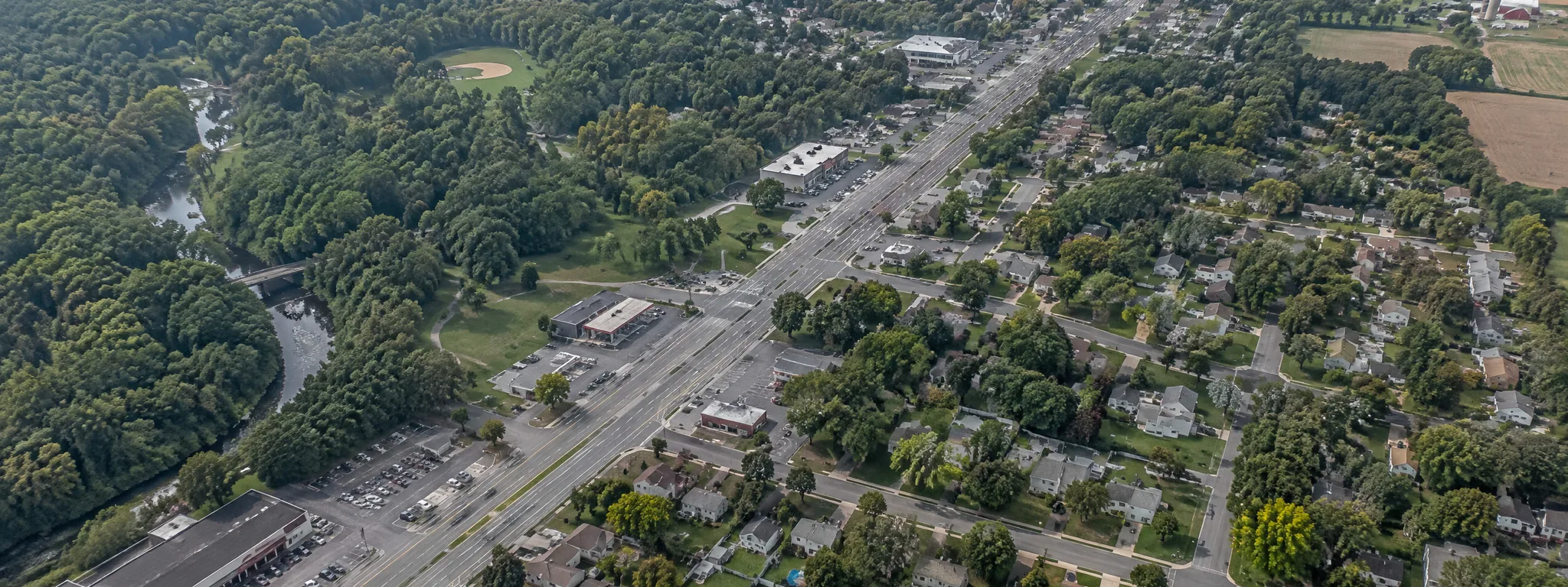
Four bands, one township
The Route 130 band. Route 130 runs through the township and carries most of the retail and the traffic. Living near it is a trade: shorter errands, more road noise. Walk the back yard at the hour you would sit in it.
The municipal center band. Old York Road, the municipal building, Assiscunk Creek Park, Green Acres I and II, and the school campuses all sit within a short distance of each other, connected by the township's pedestrian and bikeway path.
The Lake Avenue band. The Skimmer complex, Sylvan Lake and the recreation offices sit on Lake Avenue, with Green Acres IV up at the end of Pinewald Lane.
The river side. The western edge runs to the Delaware River, where the shipping channel and the rail line come through. Terrain, drainage and flood exposure vary street by street here, which is a question for the seller's disclosure, the flood map and your insurance quote rather than for a guide.
Sources: Burlington Township Master Plan, Open Space and Recreation Plan element; Burlington Township Recreation Department. Accessed November 2026.
What to ask about any address
- Which school building serves this address, in writing
- Flood zone on the current FEMA map
- Whether water and sewer are public or on site
- Age of the roof, the heater and the electrical panel
- The actual tax bill for the last four quarters
- What the street sounds like at 7:40 in the morning
School assignments are set by the district. Flood zones are set by FEMA. Confirm both for the specific property.
The parks the township runs
These are the named facilities, with what the township lists at each one.
Assiscunk Creek Park
The township's largest piece of open space, roughly 235 acres on the Master Plan's count, wrapped around the municipal center on Old York Road.
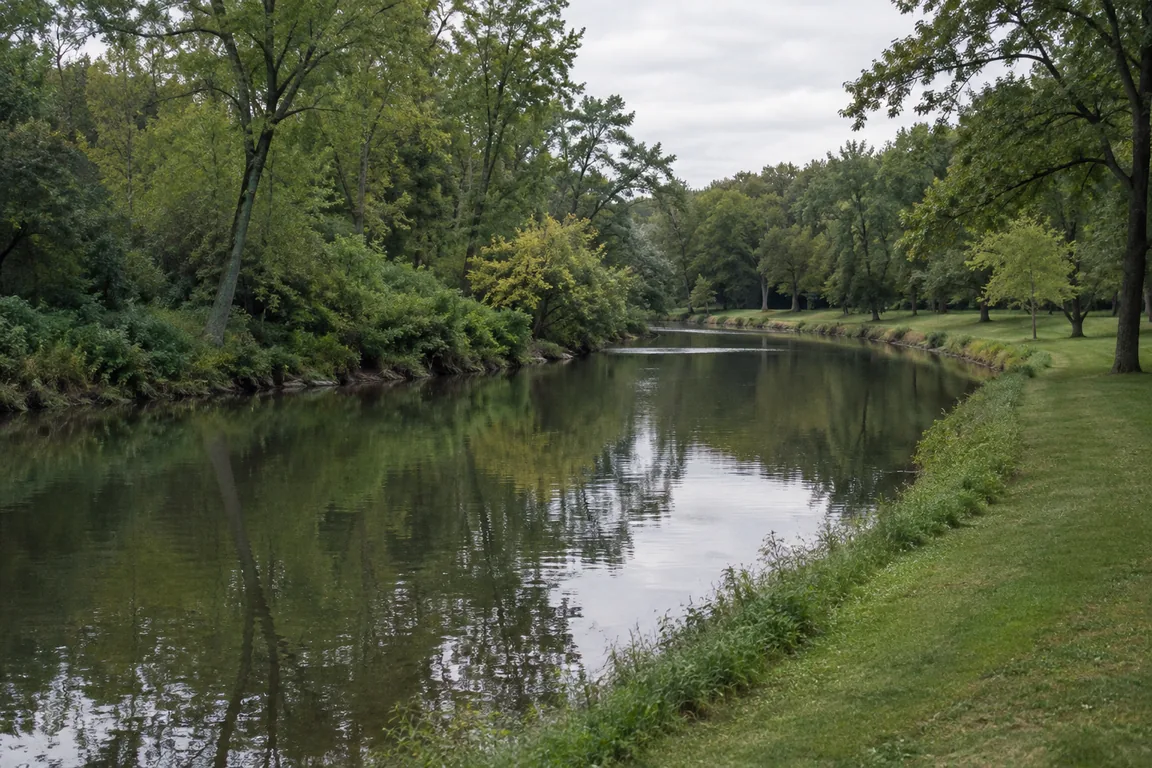
The park is the township's central green, and the Master Plan calls it the dominant municipal park: a creek corridor with active fields and passive walking ground in the same place. The township's pedestrian and bikeway path connects the municipal center, the park and the school campuses.
Green Acres I
Directly behind the municipal building, and the one with the courts.
The township lists refurbished tennis and pickleball courts, picnic pavilions available for rental, and walking trails. If you want to know whether a house has a short walk to a court, this is the park that matters most on the west side of town.
Green Acres II
Next to the municipal building, and the one built around field sports.
The township lists a youth football field, soccer fields and a bandstand. The bandstand is the piece worth knowing about, because it is where community events get staged rather than in a rented hall.
Green Acres IV
The largest of the developed complexes, at the end of Pinewald Lane.
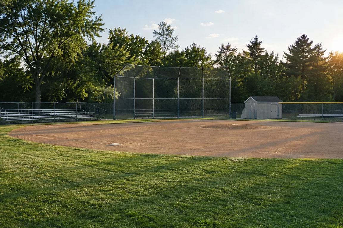
The Master Plan records the expansion of this site with three full size soccer fields, two practice fields, pedestrian and bicycle pathways, and a parking area of about 117 spaces. The township also lists a Babe Ruth baseball field and a hockey court here.
Skimmer Complex, Lake Avenue
1101 Lake Avenue, and the recreation department's home base.
Youth baseball, softball and street hockey are played here, and the recreation office is on site. Office hours are Monday to Friday, 8:30 to 3:30, and the number is 609-387-2775. If you have a question about a program, a field or a pavilion rental, this is the address.
Sylvan Lake
The township's swimming facility, also on Lake Avenue.
Summer swimming runs in July and August. The recreation directory lists a seasonal registration fee and daily passes available at the lake. Hours, fees and residency rules change year to year, so confirm them with the recreation office before you plan around them.
The subdivision names you will see in listings
These appear on the township's own street map. They are map names for groups of streets, not separate municipalities, and they are useful for one thing: knowing which part of town a listing is in.
- Bromley Estates
- Bromley Place
- Oxmead Crossing
- Wyngate
- Steeplechase
- Wentworth
- Santa Fe
- Bridle Club
- Hancock Hollow
- Park West
- Park South
- Forest Park
- Timber Ridge
- Sunset Woods
- Springside
- Classic Woods
- Pipers Run
- The Estates at Burlington Meadows
- Riverwalk
- Fountain Woods
Source: Township of Burlington 2022 Road Map street list. Accessed November 2026.
Two cautions. First, a subdivision name tells you where a house is, not what the house is like. The same name can cover four decades of construction. Second, school assignments and municipal services do not follow subdivision lines, so confirm both for the specific address.
Not sure which part of town fits?
Tell me what matters most, the drive, the tax bill, the walk to a park or the age of the house, and I will narrow it down to a few streets worth driving.
Start a conversation